


Bend Area Trail Map
The Bend Area map (2022) is a waterproof, topographic map (lat/long, UTM grids) trail map that includes hiking & trail running, mountain biking, and XC skiing route descriptions covering the Bend area including Sunriver, Phil’s & Wanoga Trail Networks, Newberry Crater & Horse Ridge, Oregon Badlands Wilderness, Waldo & Cultus Lakes, and the Mt. Bachelor Bike Park. Central Oregon is renowned for its high desert climate and beauty. The area is a recreation paradise with mountains, rivers, forests, high desert and plenty of public access. The relatively moderate slopes of the mountains and ridges are especially well suited to mountain biking, hiking, trail running and cross-country skiing. You will find route details for 30 of the best mountain bike rides, 9 hikes & trail runs, as well as 6 Nordic XC skiing & snowshoeing routes. This map includes insets for Waldo, Cultus, and Charlton Lakes, as well as the Mt. Bachelor Bike Park. Among the 30 bike rides, you will find 15 miles of new trails starting from Sunriver and connecting into the greater Wanoga/Phil’s Trail System out of Bend. These new trails allow for progressively longer rides and range from very flat and easy to intermediate, plus a short section of advanced rides.
Our printed maps come with a free digital copy (arriving with your map) for use on smart phones and tablets. Use the digital map to GPS navigate out on the trails (no cell service needed once map is downloaded); Use the printed Waterproof/Tear Resistant map for planning, as a backup in case your phone ends up in a creek, to cover your head in a rainstorm or for good old-fashioned navigating. Double Sided Laminated Flat Maps and Full-Size Poster options are also available (see below). Laminated maps and Posters make nice gifts as you can hang them on a wall.
Scale 1:63,360, 1:47,520
copyright 2022
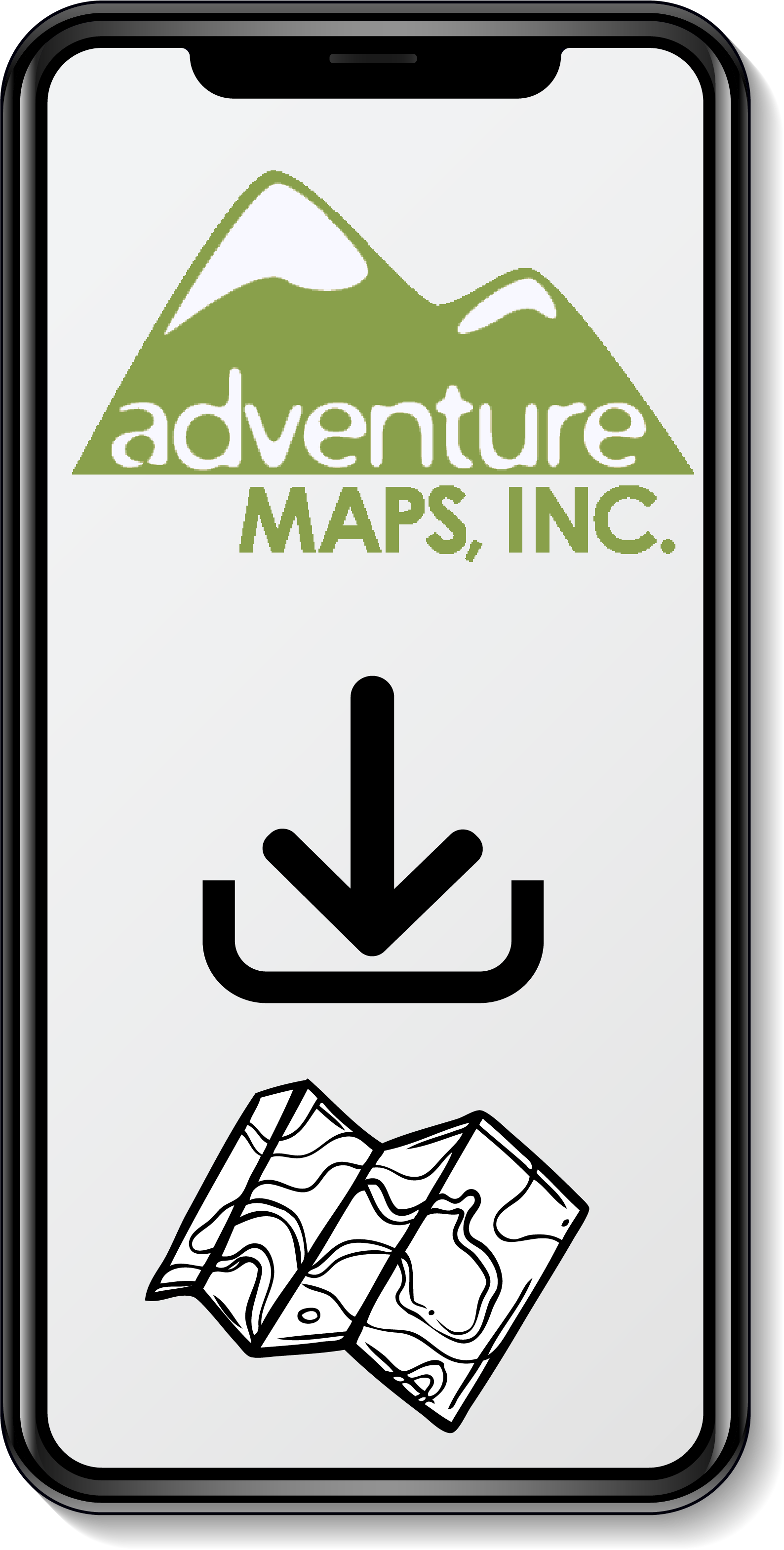
All of Our Map Purchases Come with a Free Digital Download
$13.99 – $35.00