


Sawtooth & White Cloud Mountains Trail Map
The Sawtooth & White Cloud Mountains trail map (2020) is a waterproof, topographic (lat/long, UTM grids) trail map that includes hiking and mountain biking route descriptions covering Boulder-Hemingway Wilderness Areas, Sawtooth National Recreation Area, Sawtooth Valley & Stanley Basin, Cape Horn Area, and the Headwaters of the Boise, Salmon & South Fork Payette Rivers. High peaks, crystal clear lakes, cool mountain streams, mountain meadows and abundant wildlife are the draw to this pocket of central Idaho. Hikers, horseback riders, mountain bikers, moto riders, hunters, etc. can rely on the accuracy of this map to find adventures of any kind. You will find route details for 13 mountain bike rides and 15 hikes and an inset of Atlanta TH.
Our printed maps come with a free digital copy (arriving with your map) for use on smart phones and tablets. Use the digital map to gps navigate out on the trails (no cell service needed once map is downloaded); Use the printed Waterproof/Tear Resistant map for planning, as a backup in case your phone ends up in a creek, to cover your head in a rain storm or for good old fashioned navigating. Laminated Flat Maps and Full Size Poster options are also available (see below). Laminated maps and Posters make nice gifts as you can hang them on a wall.
Scale: 1:63,360
copyright 2020
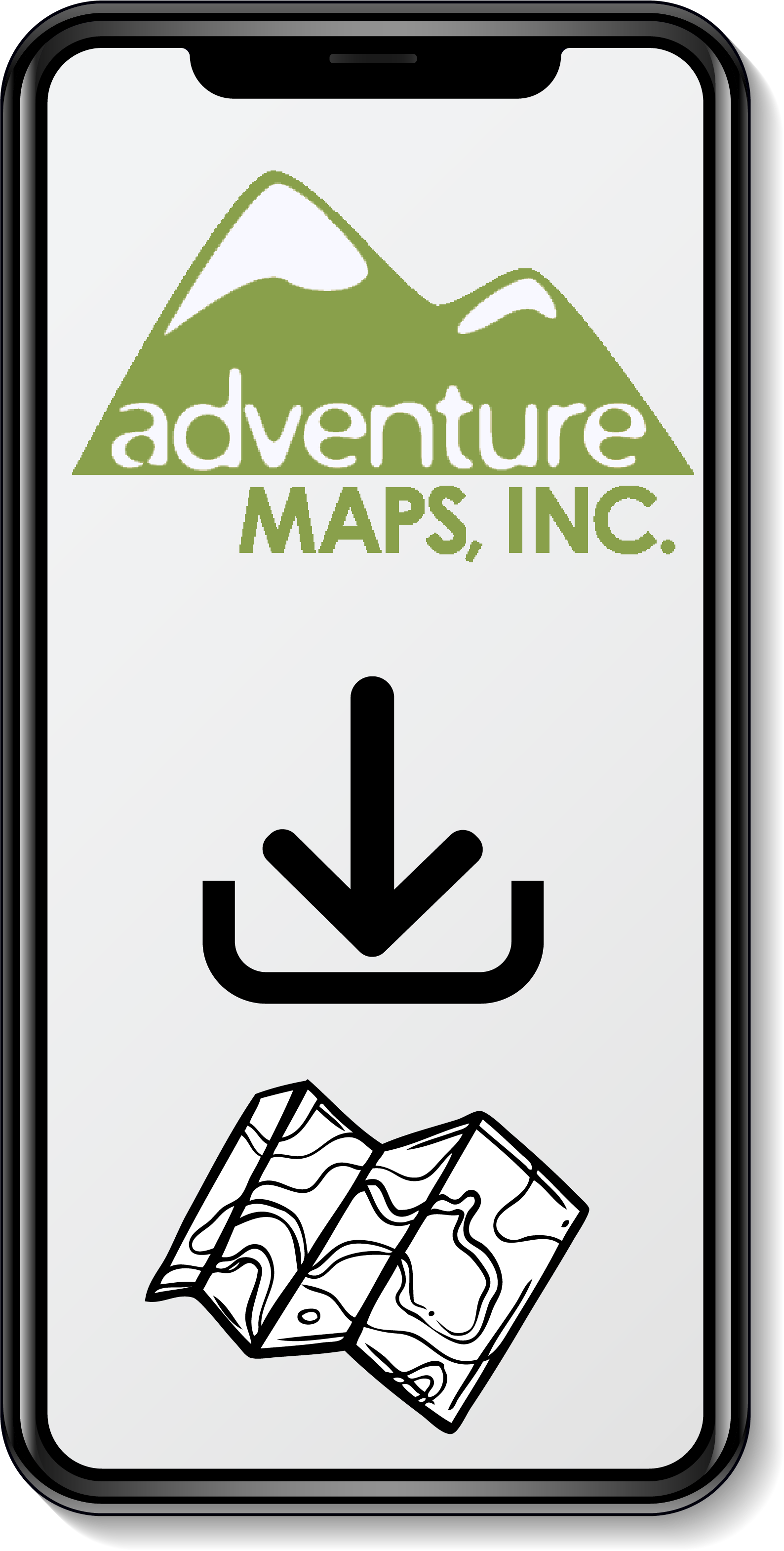
All of Our Map Purchases Come with a Free Digital Download
$13.99 – $35.00