


Central Oregon High Desert Trail Map
Price range: $14.99 through $25.00
Waterproof/Folded Map (for navigation out on the trails)
Laminated Poster Map (durable poster for display in your home, cabin, office or business)
Poster Map (printed on regular poster paper, suitable for custom mounting or framing)
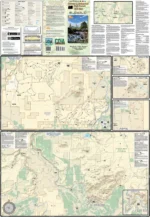
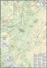
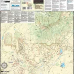
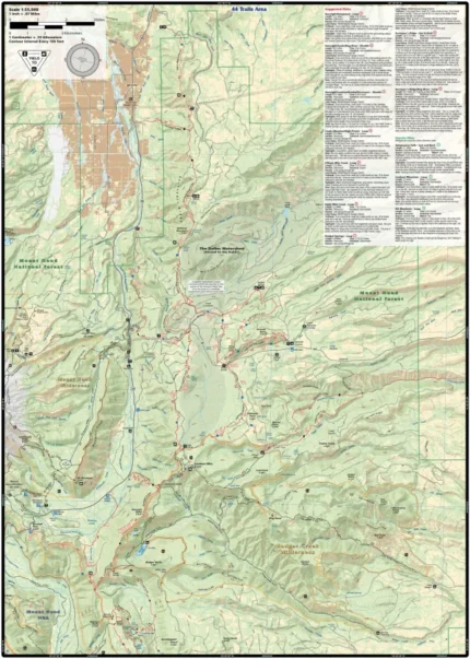
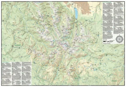
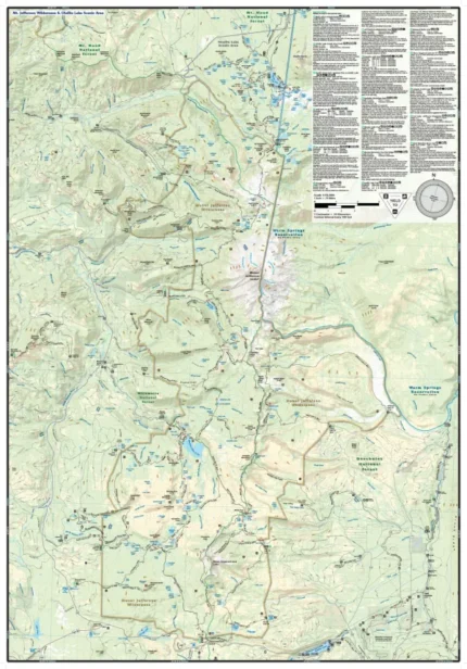
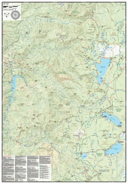
The Central Oregon High Desert Trail map (2024) is a waterproof, topographic (lat/long, UTM grids) trail map that includes hiking, mountain biking, trail running, equestrian and XC skiing route descriptions covering the northern portion of Central Oregon’s high desert. The high desert of Central Oregon is an incredibly beautiful area with a relatively dry climate well suited to outdoor recreation. The mountains, rivers, forests, canyons and high desert are laced with a network of trails designed and built by outdoor recreationists. In addition, the relatively moderate slopes of the mountains, foothills and desert areas are especially well suited to a wide variety of outdoor activities. You will find route details for 14 of the best mountain bike rides, 11 hikes, and 2 cross-country skiing areas. The map includes blowups of Peterson Ridge Trails, Smith Rock, The Radlands, Lower 66 Trails, Barnes Butte, Madras East Hills, Maston, Cline Buttes and Tumalo Canal Trails.
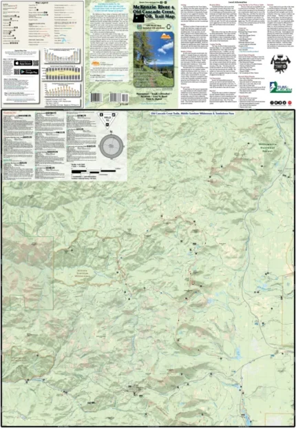
Our printed maps come with a free digital copy (arriving with your map) for use on smart phones and tablets. Use the digital map to gps navigate out on the trails (no cell service needed once map is downloaded); Use the printed Waterproof/Tear Resistant map for planning, as a backup in case your phone ends up in a creek, to cover your head in a rain storm or for good old fashioned navigating. Laminated Flat Maps and Full Size Poster options are also available (see below). Laminated maps and Posters are great for hanging on the wall of your home or office for planning your next adventure.
Scale: 1:63,360, 1:47,520, 1:31,680, 1:23,760
copyright 2024
| Dimensions | N/A |
|---|---|
| Map Type | Laminated Poster Map, Poster Map, Waterproof/Folded Map |
Only logged in customers who have purchased this product may leave a review.
Related products
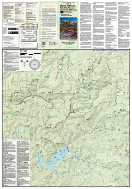
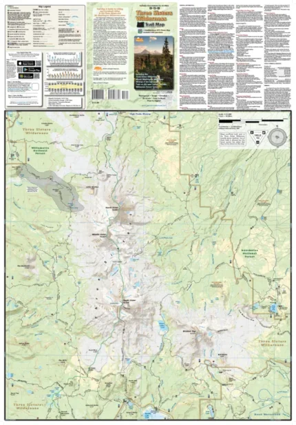
Mount Jefferson, Bull of the Woods & Opal Creek Wilderness Trail Map
Price range: $13.99 through $25.00

Reviews
There are no reviews yet.